
- Scientists upgraded the Noah-MP model to simulate snow better.
- Findings may help predict droughts and water supply changes.
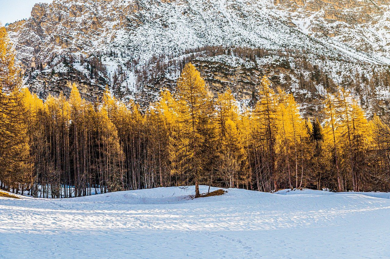
- The study focuses on improving snow albedo accuracy.
February 5, 2025 — A study published in Journal of Hydrometeorology (online on January 31, 2025, and in print on February 1, 2025) investigates a way to improve how land surface models capture snow reflectivity—also known as albedo. According to the abstract, “The widely used community Noah-MP land surface model currently adopts snow albedo parameterizations that are semiphysical in nature and have systematic biases which impact the accuracy of weather and climate modeling systems that use Noah-MP as the land component.” (Source: Journal of Hydrometeorology )
)
Advancing Drought Predictions.
In an announcement published on February 4, 2025, the National Oceanic and Atmospheric Administration (NOAA) reported on a project that refines the Noah-MP model by incorporating factors such as snow grain size, shape, and impurities. “Weather forecasts struggle to predict how much snow will stick around, or how quickly it will melt away. Scientists are addressing this challenge by improving how climate models simulate snow…” (Source: NOAA)
These efforts, supported by the National Science Foundation’s National Center for Atmospheric Research, NOAA’s Global Systems Laboratory, Airborne Snow Observatories, Inc., and other international institutions, aim to enhance predictions of droughts and water supply in the Western United States. The modifications showed better agreement with real-world measurements of snow albedo at three Rocky Mountain field stations.
Implications for Water Management.
Researchers note that water availability in Western regions often hinges on the timing and amount of snowmelt. By integrating a more advanced radiative transfer scheme—adapted from the SNICAR model—into Noah-MP, the team seeks to improve the accuracy of drought forecasting. These enhancements form part of a broader project backed by NOAA’s Climate Program Office’s Modeling, Analysis, Predictions, and Projections (MAPP) program, the National Integrated Drought Information System (NIDIS), and the Weather Program Office. As modeling tools evolve, communities throughout the West may benefit from more reliable outlooks on snowpack conditions and water supplies.

Leave a Reply