- Two starkly contrasting water balance phases identified in the East River.
- From 1997 to 2012, the region endured a deficit-driven water pattern.
- A surplus phase from 2014 to 2023 brought fresh dynamics, including altered streamflow timing.
- Irrigation return flows emerge as a central player in streamflow behavior.
December 19, 2024 — Over the past three decades, Colorado’s East River—a significant tributary feeding the Gunnison River Basin—has experienced notable hydrological shifts, according to a December 2024 report from the U.S. Geological Survey (USGS) . Collaborating with the Upper Gunnison River Water Conservancy District, the study dives into the hidden mechanics of irrigation return flows and their ripple effects on streamflow patterns.
Focusing on an eight-mile stretch of the East River, researchers analyzed nearly 30 years of water data, from 1994 to 2023. Two distinct situations surfaced: a water deficit phase spanning 1997 to 2012, followed by a surplus era kicking off in 2014 and extending through 2023.
During the deficit years, the river seemed to struggle—streamflow nosedived between April and July, a trend linked to intense irrigation activity. However, late summer flows rebounded about 75 days after these steep losses, albeit modestly. The surplus phase was more intricate, marked by smaller flow losses and bigger seasonal gains.
Key to these patterns were irrigation return flows—water filtering back to the river through shallow aquifers or other subterranean pathways. Researchers suspect that shifts in groundwater storage, like a well refilling after heavy use, could explain the surplus phase. A full shallow aquifer might speed up the journey of excess irrigation water, pushing it into streams via faster surface or subsurface routes.
“This isn’t just about the East River; it’s a story of how water moves through landscapes shaped by human and natural systems,” the report hints. The findings don’t nail down every causal factor, but they suggest surplus years may mirror a broader hydrological balance, driven by filled aquifers and efficient return flows.
As the Gunnison River Basin faces growing demands from agriculture and environmental needs, unraveling these patterns becomes more than a research exercise—it’s a road map for sustainable water management. While the East River offers a case study, the implications stretch further, hinting at similar dynamics in other irrigated watersheds across the region.
Report Citation:
Agricultural Return Flow Dynamics on a Reach of the East River, Colorado, as Assessed by Mass Balance
Open-File Report 2024-1075
Prepared in cooperation with Upper Gunnison River Water Conservancy District
By: Carleton R. Bern and Rachel G. Gidley
https://doi.org/10.3133/ofr20241075
Image:
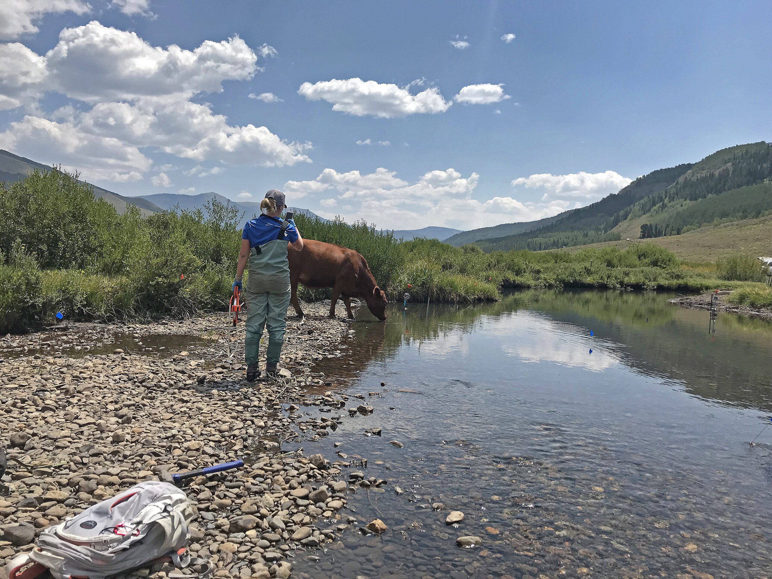
The East River in the Rocky Mountains of Colorado, near the towns of Aspen and Crested Butte, photo by Kira Harris, August 2028. Licensed under the Creative Commons Attribution 2.0 Generic license.


Leave a Reply