
- Weekend rain and snow reduce wildfire activity in Wyoming.
- Elk Fire shows minimal growth due to recent precipitation.
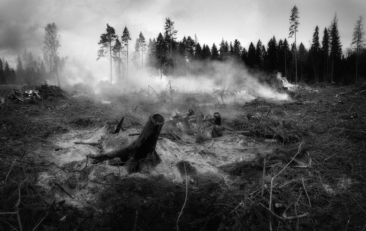
- Firefighters shift focus to suppression repair and equipment backhaul.
- Another winter storm expected to bring more snow and cold temperatures.
October 21, 2024 — Over the weekend, much-needed rain and snow have helped to calm the wildfires raging across Wyoming. As of October 18, 2024, wildfires in the state have burned more than 810,000 acres, with the Elk Fire being one of the most significant blazes, impacting nearly 100,000 acres near the towns of Dayton and Parkman.
A strong autumn storm system passed over the Elk Fire area on Thursday and Friday, dropping about an inch of precipitation. According to the InciWeb report on October 19, “The moisture markedly reduced fire behavior across the fire area, giving firefighters a welcome reprieve.”
Firefighters Shift Focus Amid Calmer Conditions.
The wet conditions have led to limited fire behavior and minimal fire growth for at least a few days. Firefighters are taking this opportunity to shift their focus from battling active fires to planning for end-of-incident activities like suppression repair and backhaul of supplies and equipment. All decisions are being made with firefighter and public safety in mind and the need to protect critical resources such as roads, trails, waterways, recreation facilities, and structures.
The Elk Fire remains unchanged at 96,179 acres and is 44% contained. However, a warming and drying trend is expected to reestablish next week, and smoke could again become visible in the fire area. Firefighting crews will remain alert and ready for any suppression actions that may need to be taken.
More Precipitation on the Way.
The National Weather Service forecast on October 20 predicts that a winter storm will spread moderate to heavy amounts of snow, along with windy conditions, into Western Wyoming tonight through early Monday morning. The heaviest snowfall is expected to occur Sunday night as the main system and associated cold front move across the area. Light snowfall is expected to spread east of the Continental Divide late Sunday night and into Monday.
Much colder air is expected in the wake of this cold front Sunday night and Monday. High temperatures on Tuesday will be about 20 degrees below average, with highs generally in the teens. This additional precipitation and colder temperatures are expected to further aid in slowing down wildfire activity across the region.
Situation Remains Dynamic.
The recent precipitation has provided a much-needed respite for firefighters battling the wildfires in Wyoming. While the current conditions have reduced fire activity, the situation remains dynamic. Fire crews are preparing for any changes in weather and fire behavior in the coming days. The upcoming winter storm brings hope for further suppression of the fires, allowing for continued efforts in containment and recovery.
Leave a Reply