
- Pacific storm brings snow to Colorado, Utah, and Montana, with up to 12 inches in higher elevations.
- Freeze warnings issued for northern Rockies and Great Basin.
- Gusty winds and fire risks affect California and parts of Arizona.
- Flash flood potential in New Mexico and southern Colorado due to heavy rain.
October 18, 2024 — A powerful Pacific storm is making its way through the Colorado River Basin, bringing an unpredictable mix of snow, freezing temperatures, gusty winds, and fire risks. As the storm intensifies, the region will face significant weather hazards, with conditions varying across different states, according to yesterday’s report issued by the National Weather Service .
.
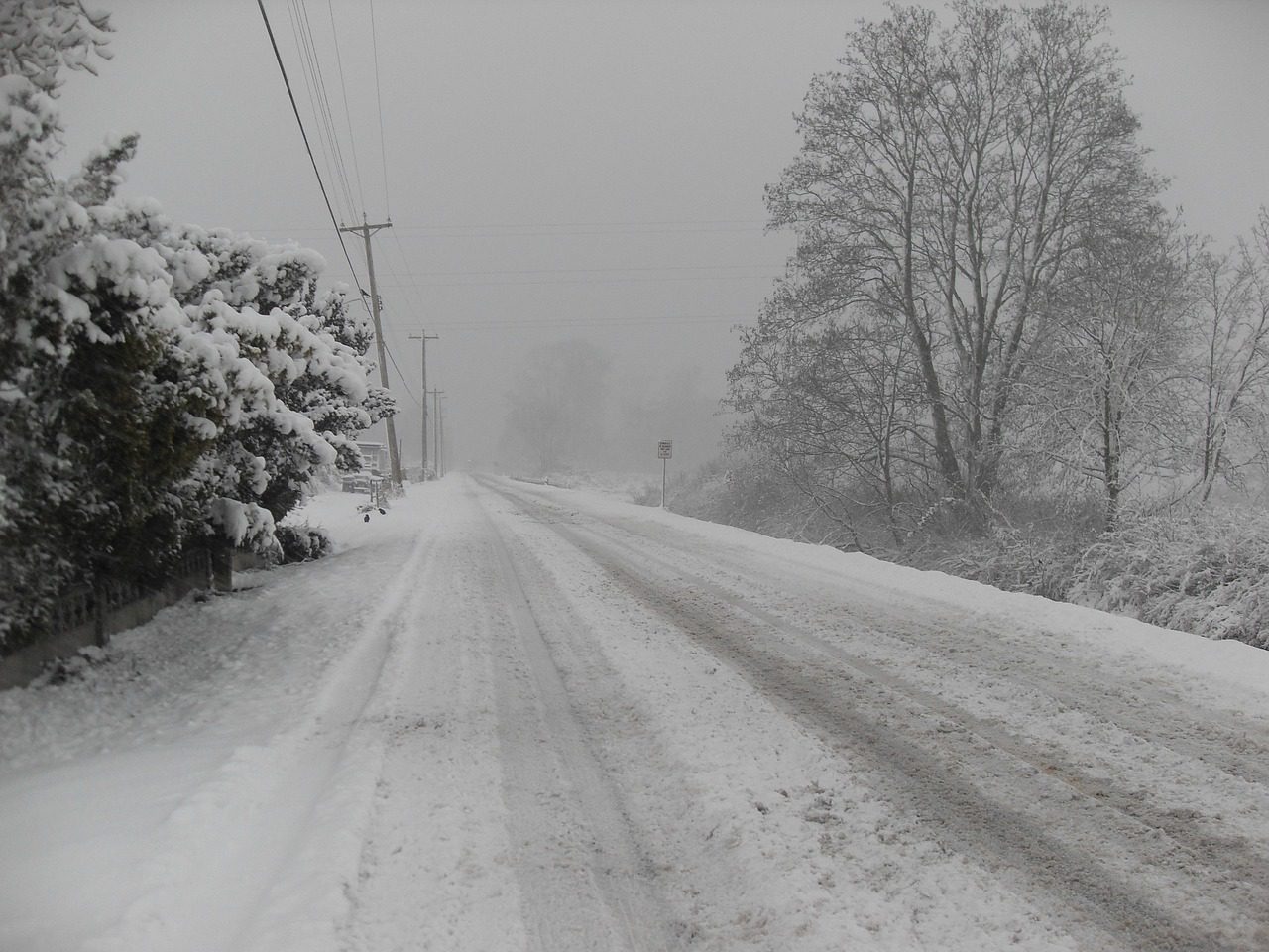
Colorado, Utah, and Montana: Snowfall and Freezing Temperatures.
A potent storm system pushed through the Intermountain West, delivering showers, thunderstorms, and significant snowfall to higher elevations. In Colorado, Utah, and Montana, snow accumulations in the Rockies and Great Basin are expected to range from 4 to 8 inches, with some areas exceeding 12 inches. Daytime highs in the northern Rockies and the Great Basin will struggle to reach the 40s and 50s, while nighttime lows will drop into the frigid 20s and 30s.
Freeze warnings have been issued for many valley areas, raising concerns about crop damage and burst pipes. The typically milder Desert Southwest will experience more moderate temperatures, ranging from the 60s to the low 80s.
California and Arizona: Fire Weather Risks.
As mountain states brace for snow, California and parts of Arizona face gusty winds and heightened fire risks. Wind speeds of 30-40 mph are expected, with isolated gusts reaching up to 50 mph. Critical fire weather conditions have been forecast for California, and Red Flag Warnings are in place through Saturday as the storm’s cold front pushes through.
New Mexico and Colorado: Flash Flood Potential.
On Saturday, the southern High Plains, including parts of New Mexico and Colorado, will see heavy rainfall, with totals reaching 2-4 inches in some areas. This moisture, pulled northward by the storm, could lead to widespread thunderstorms and an increased risk of flash flooding. The National Weather Service has issued a Slight Risk of Excessive Rainfall for the region, advising residents in flood-prone areas to remain alert.
Leave a Reply