- USC researchers developed a new model to predict wildfire spread accurately.
- The model uses satellite data and artificial intelligence to forecast a fire’s path, intensity, and growth rate.
- Researchers were impressed with the model’s accuracy in real-world tests.
- The study comes as California grapples with an increasingly severe wildfire season.
July 23, 2024 — Researchers at the University of Southern California (USC) have achieved a significant breakthrough in wildfire management by developing a new model that accurately predicts wildfire spread. This innovative approach combines satellite imagery with artificial intelligence (AI) to forecast a fire’s path, intensity, and growth rate, offering valuable insights to firefighters and evacuation teams battling wildfires on the front lines.
The Science Behind the Model.
The USC model, detailed in a study published in “Artificial Intelligence for the Earth Systems ,” utilizes satellite data to track a wildfire’s progression in real-time. This information is then fed into a sophisticated computer algorithm, a conditional Wasserstein Generative Adversarial Network (cWGAN), trained on historical wildfire data and patterns. The model can anticipate how future fires might spread by analyzing how past fires have behaved under various conditions.
Testing and Real-World Applications.
The researchers tested the cWGAN model on real wildfires in California between 2020 and 2022 and were impressed with its accuracy. Initially trained on simulated data under ideal conditions, the model performed well in real-world scenarios, demonstrating its potential for practical application in wildfire management and emergency response.
“By studying how past fires behaved, we can create a model that anticipates how future fires might spread,” said Assad Oberai, Hughes Professor and Professor of Aerospace and Mechanical Engineering at USC Viterbi and co-author of the study.
Challenges and Future Directions.
While the model shows promise, researchers acknowledge that wildfires are complex phenomena influenced by numerous factors, including weather, fuel type, and terrain. Modeling these intricate processes accurately requires advanced computing and continuous refinement of the algorithms.
Despite the challenges, the USC model represents a significant step forward in wildfire prediction and has the potential to revolutionize how we combat these devastating events. As California and other regions face increasingly severe wildfire seasons, this innovative tool could prove invaluable in protecting lives, property, and the environment.
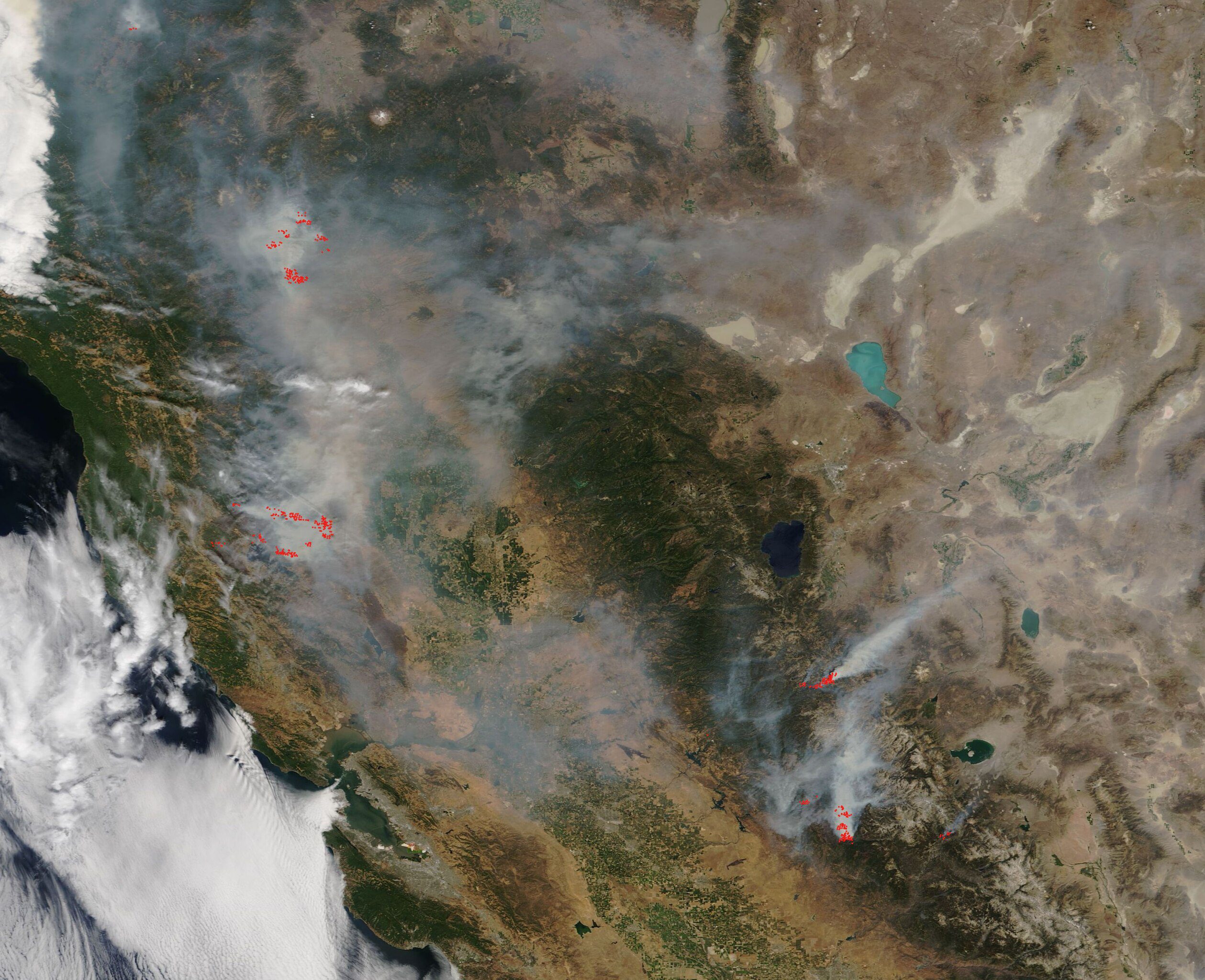
Image of California Wildfires via Public Domain.

