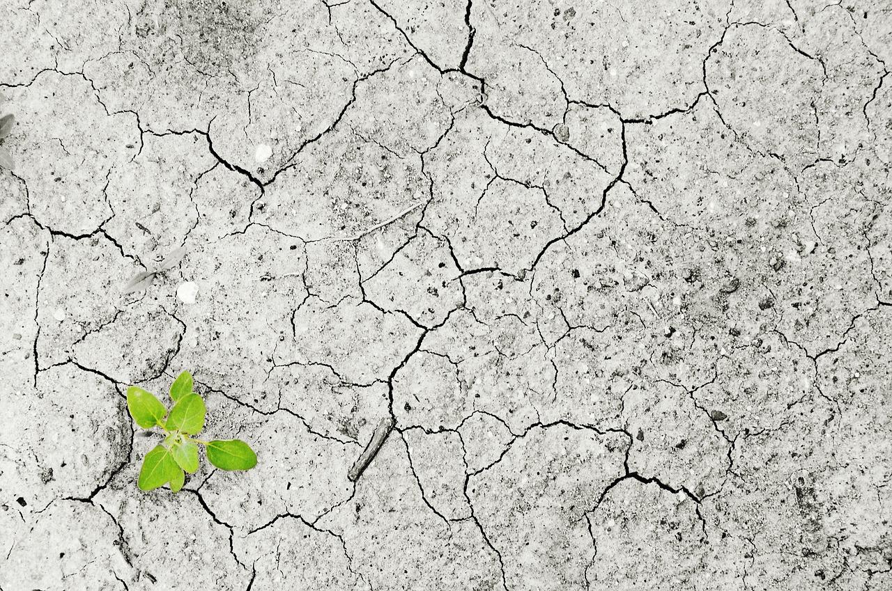
National Geographic reports that the current drought could stretch into 2030, which is not good news for the Western states.
Droughts happen naturally, but human driven climate change is making the severity worse . Extremely dry soil indicates that the Western states are currently experiencing the worst drought in 1200 years. Phys.org says that drought self-propagates
 , just like wildfires, adding:
[D]roughts are expected to intensify in many regions following global warming. The United Nations has recently described drought as “the next pandemic
,” suggesting that the associated risks are currently overlooked. It is thus crucial to improve our understanding of drought, and particularly its causes, in order to be able to predict its future risk and enable adequate societal adaptation.
The Southwestern states have been grappling with ongoing drought for the past 20 years, while the eastern states are dealing with “flash droughts .” To understand the past 20 years better to predict future water management challenges, NOAA has made an interactive map viewer
 available online. Users can click any point on the map to find out how many droughts have occurred in that location, as well as the number of droughts in each severity category. According to NOAA
 , the viewer “provides a quick and easy way for decision-makers to gain an understanding of historical drought in their area and can prompt further questions into the local impacts of drought and how to better prepare for future droughts.”


Leave a Reply